
Having the microwave replaced we are free again to hit the road! The days in Missouri have cooled off to be a pleasant 75 degrees for highs and mid 50s at night. And the leaves have been falling like crazy. It is truly starting to feel like fall and our schedule dictates that we need to keep moving south to winter in Florida. So, after a 2-week stay we packed up, stowed stuff away, unhooked our connections, and attached the camper to the truck. Off we go!
The drive south was on a combination of 4 and 2 lane state roads. And they included more steep up and down hills as well as some twistys. One was marked with large warning signs at a 7% grade. More of the rural Ozark experience. Great motorcycle roads, but for this big rig they were kind of stressful. Thanks to our Lord for the safe travels!
We split this travel up into two segments, stopping the first night in Batesville, Arkansas at Brecks RV park. Batesville has a population of about 10,000 and is the home of Mark Martin, of NASCAR fame. We really did not have the time to explore much, since this was just a one night stop over. We did drive to the old downtown area and just walked up and down the streets looking at the old buildings. I just love the old architecture.
Brecks RV park is a brand new park that is well laid out for big rigs. Easy into the park and campsites. Level concrete pads with full hook ups. Nice! We would stay here again. The only downside was quite narrow spaces.
Since we only had about 3 hours to drive the next day and our next park has a 4 pm check in time, we left Batesville at a lazy 12 noon after a nice lunch.
I check our trip routes out many different ways. Using the special GPS by Garmin for large RVs, my large format truckers atlas, Google Maps, Google Earth view, and I read the campground reviews for the best road tips. Our destination park is the Corps of Engineers park at Maumelle Arksansas and it had some critical comments on RV Park Reviews about very narrow roads into the park. So, I was concerned about this for most of the drive, but it turned out to be just fine. Yep, a little narrow, but I have seen way worse.
Maumelle Park
This park is located just northwest of Little Rock, Arkansas that has about 200,000 people and is the capital city of the state. But I’m sure you know that. 5th grade geography. At least it was back in the day.
The park is part of the Army Corp of Engineers flood control projects along the Arkansas river. The park is actually located just below where the Maumelle and Arkansas rivers join up and it is very wide. Maybe 1/2 mile across.
It is a beautiful park in almost all respects. Trish did a fantastic job in researching the park and selecting our campsite sometime back in June. We were newbies then still trying to figure things out. Can you believe that I retired 5 months ago and we have been traveling ever since. The time has gone by very quickly. Too fast?
Anyway, back to the park. Our campsite is directly water front and positioned so that our large side and back windows have a great view. The sites have much grass space between them and the spot for the RV is level blacktop.
We are here for 10 days and will enjoy many hikes and sightseeing into Little Rock. After some preliminary research, LR has much to see and do. Can’t wait!
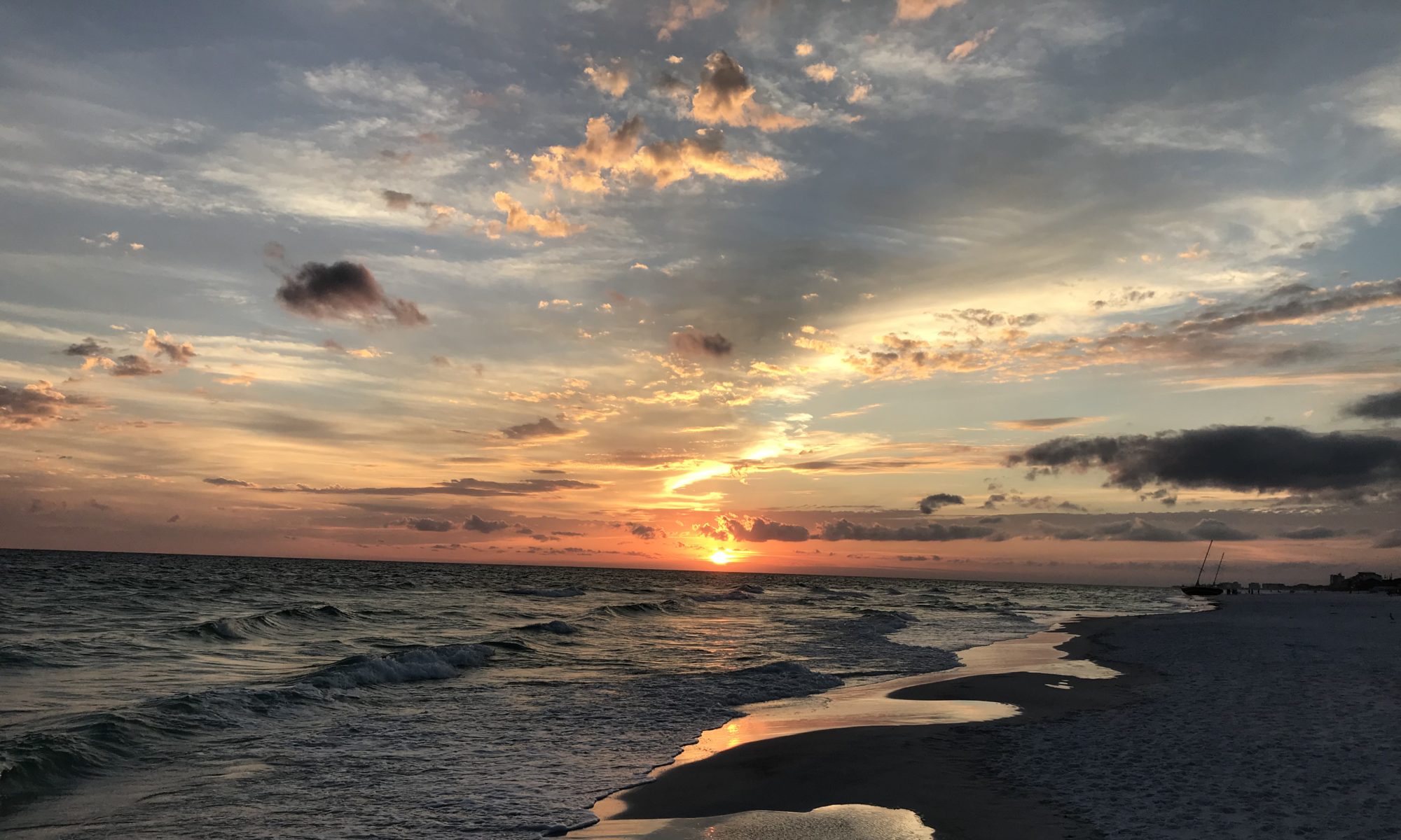
Here are some photos:


Take care and God Bless. Be sure to sign up for email updates and leave a comment if you wish.